We hiked yesterday. It had been a while. My legs HURT! My calves and shins are killing me! Ok, so no riding OR hiking today. Good day to GSD. We go into town and pick up a few more things. We know we’re heading into cold country, so a quilt is in order, and I pick up some sandals, because I’ve discovered sandals. The Bear bought me some Tevas a few weeks ago, the first sandals I’ve ever worn that were comfortable, so I wear them A LOT. I find some Dr. Scholl’s that are INCREDIBLY comfortable, and buy two pair, open and closed. I’m set! We get some kitchen stuff, and head back to camp to wrap up the camp – tomorrow we head to Salida, CO.
Day 35 – 2014-06-23, Monday – Durango, CO
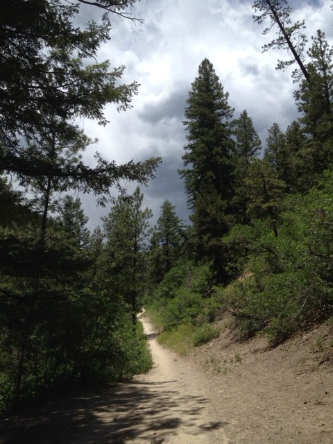
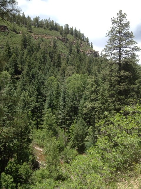
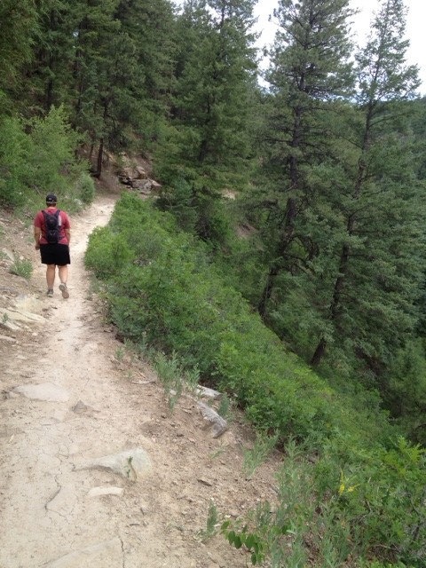
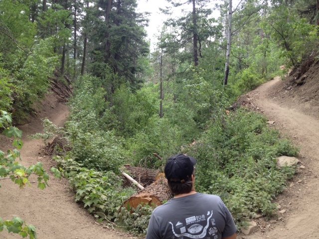
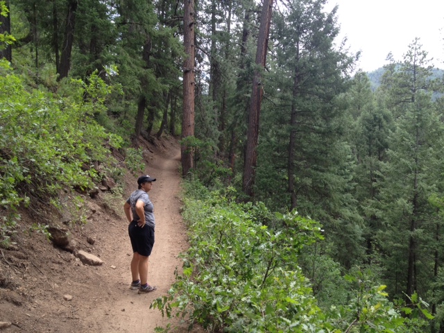
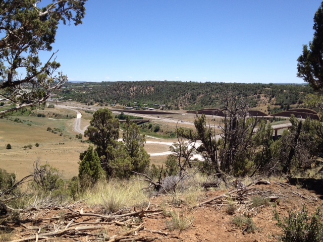
No riding today – hiking instead! We’re going to go check out the Colorado Trail in Durango. It starts just outside of town, so just a short drive. We’re hiking it because we may ride it. Pretty nice trail, except in parts it drops off VERY steeply, and goes down a long way – easily over a hundred feet, and the only thing to stop you would be the creek at the bottom. I don’t like that. Plus, the trail angles to the outside (as it should, so water can run off the trail when it rains, instead of along it to cut it deeper. The only issue I have with that is that where the trail has got itself dusty, it could be very easy to slid off into oblivion. I know, that most likely would never happen, but irrational fears are just that – irrational. The scenery is spectacular! I hate to take photos of things like this, because they never do it justice, but here goes anyway:
Yes, storm clouds were looming, but we braved it anyway.
See the creek way down there?
See how steep? And this is one of the less steep sections …
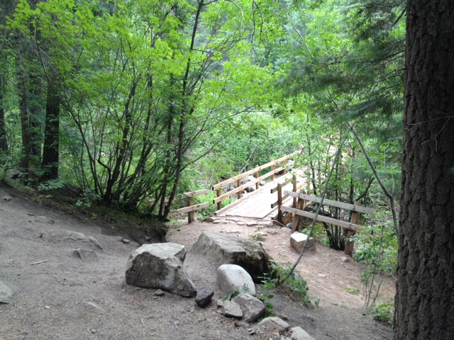
This was a really cool bridge a couple of miles in.
One of the steeper sections, but at least there is shrubbery to slow you down, so this did not bother me.
In the end, we hiked five miles, which doesn’t seem like a lot, but we did climb (and descended!) a bit over 1,000 feet, so the legs were a mite tired when we got done. A good day!
Day 34 – 2014-06-22, Sunday – Durango, CO
Ok, late posting this because of flaky internet.
Today was FS day! Find Stuff Day. Looking for trailheads. The Bear wants to try and let her hand heal, so we’re going to take it easy today, maybe tomorrow also.
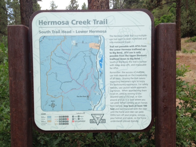
We head out and look for the Hermosa Creek Trailhead – here it is:
We went ahead and hiked a little bit of it, and it is beautiful out there!
After that, we drove out to places we were in 20 years ago – Old Lime Creek Road and Molass Pass. Here is the view from Molass Pass:
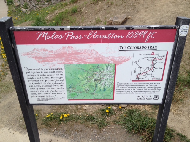
Here is the sign that tells you how high up you are:
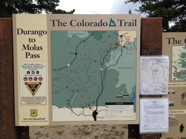
And here is a map of the Colorado Trail, From Durango to Molass Pass:
This is one place we STARTED a ride from all those years ago. Ah, to be young again! To be able to BREATHE again!
Then we went looking for Old Lime Creek Road. This is a ride several of us did 20 years ago, not all of us did the same ride. The Bear and I have a bad habit of always riding with folks younger than us, and we get our butts kicked repeatedly by doing so. You think we’d learn. Anyway, OLCR starts (the way we did it back when) at about 8,900 feet, winds its way up and down, then ends up about 11 or 12 miles later at 9,800 feet. The rest of the crowd did it as an out and back, but we were not sure we could handle another 11 or 12 miles back (we did not realize it was going to be mostly down hill), so we opted instead to take the highway. I remember we got rained on, and hailed on, but I did not remember it being that bad. Well, driving it this time, I have a whole new appreciation for what we did! Our return started at 9,800 feet, of course, and went over Coal Bank Pass. It was three miles to the pass, climbing to 10,600. Yes, we climbed 800 feet in three miles. Not too bad. It’s like taking a 20-foot board, and raising the far end one foot – not bad! Well, yes, but do that for THREE MILES. It’s kind of steep after a while. Then, we dropped from 10,600 to 8,900 in five miles. We were doing about 40-45 mph on the way down, using very little brakes. Not one car kept up with us, I do remember that! Fun times!
Day 33 – 2014-06-21, Saturday – Durango, CO
Saturday – ride day! We’ll go check out the Animas River Trail. It’s about a seven mile concrete or asphalt (or rarely, gravel) trail that parallels the Animas River. Clever name, huh? We started in the middle and headed in towards town, about 3.5 miles total to the current end of it on the North end, then we rode back to where we started. The South end did not hold any allure for us, so we skipped that – besides, we need to go to ACE Hardware to get a 7MM wrench so we can bleed The Bear’s brakes, and maybe stop at City Market for some vittles.
Ok, got the wrench, got the vittles, head home for some lunch!
After lunch, we got the itch to go back to that brewery that we couldn’t get into last Thursday, the Ska Brewery, so off it is! This time, there’s plenty of parking, so no issues with that, and we head in to the restaurant at the rear (The Container – so called because it’s made of shipping containers!). On the way in, we see some interesting things:
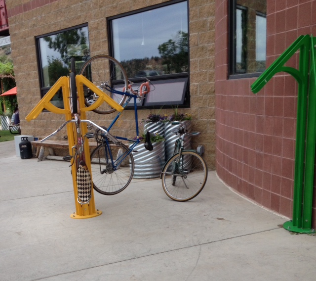
Bike racks! Really cool ones, that hold the bike vertically. i like it! So, we went on inside, tried some of their stouts, and also looked at the food menu. Hmmm … Kimchi Burger. I happen to like Kimchi, so this sounds like a most-have! Here it is, $8 by itself, or $10 with a pint:
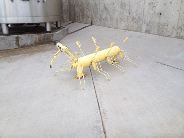
The Kimchi was pretty good, though it could have been hotter, but I’d still have this on a return trip. On the way out, we saw a different type of bike rack, much more creative:
And that was it for today! Tomorrow? Not sure. Some killer trail, I’m sure, where we’ll never be able to catch our breath, but that’s why we’re here!
Day 32 – 2014-06-20, Friday – Durango, CO
Ah, Friday! So many plans, but, what are plans for? Why, to change, of course! Were gonna ride the concrete trail, but decided this was a good GSD day – Get Stuff Done. Gonna stick with “Stuff”. And so we did. Little niggling things that were bugging us about living in the trailer, but it’s all sorted out now.
Tomorrow we’ll get back on the bikes.
Did see a couple of cool things today while out and about, though. The first one was cool, I should say, and will interest many DORBA folks:
Maybe a little expensive at $70.00, but some folks would probably spend it. The second thing was … weird. No other word for it. I’d never seen this:
Bad photo, I know, but it was a quick grab at the grocery store, and before anyone maligns the poor unfortunate woman standing there, she was NOT with the … other person … in the photo. I had never before seen high-heeled hiking boots. And it’s not like he was THAT short, either. Go figure …
Day 31 – 2014-06-19, Thursday – Durango, CO
Fine day for a great ride, and we are off! We want to return to North Horse Gulch, a set of trails we rode last year, so we head out, kinda late, though. This is the trail where we saw Mo Monaghan last year, and it was a fun one. Well, when last we were here, the city was working on the parking area, so parking was difficult, though not impossible. THIS year, they’re STILL working on it, and there is NO parking! Well, almost a year, so … quite the improvement … NOT!
Ok, that’s out, but there are a LOT of trails here, so we go to SOUTH Horse Gulch instead. We DO find parking there, so off to ride we go! Here’s the trailhead:
A bit into the trail, I see this:
Cute! I have no unearthly idea what it is, but it’s cute! From the trail we see this:
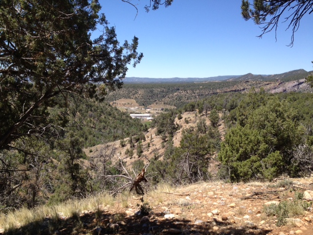
And later on this:
Not terrific vistas, but pretty cool.
For later, there’s a plan, so we head home to shower and change. There’s a brewery (well, a lot of them, but we want a particular one) that has specials and BBQ on Thursdays, so off we go, across town. Very close to where we rode, as a matter of fact. Well, the place is so packed, there’s no place to park literally for over a block, and it’s all illegal parking anyway (on the street, on No Parking areas) and I won’t do that, so we head home for dinner. Oh, well.
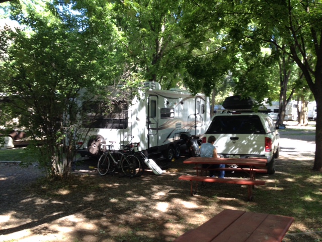
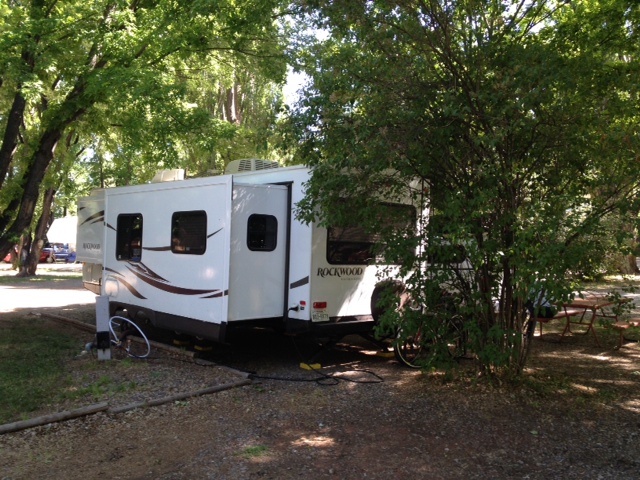
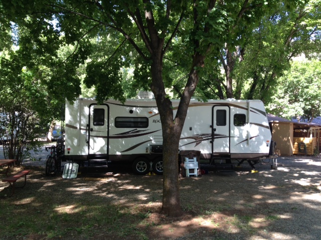
On our return, I get photos of our campsite. I like it – lots of trees, megashade. Here’s the rear of it:
Here’s the left side:
And the right:
Best campsite EVER!
Tomorrow? Maybe some concrete trails, to let the legs rest a bit.
Day 30 – 2014-06-18, Wednesday – Durango, CO
Ah, Colorado! I like this State. Beautiful scenery, great trails, quaint towns.
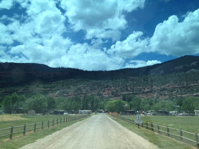
Got in mid-afternoon yesterday, no chance for photos, so here’s one today – the campground where we’re staying:
Funky long-ass driveway, but it’s nestled up close to the mountain (good and bad) – great as it protects from the wind, not so good as it also protects from radio waves – no cell service most of the time. Oh, well, at least they have GREAT Wi-Fi, so there is that!
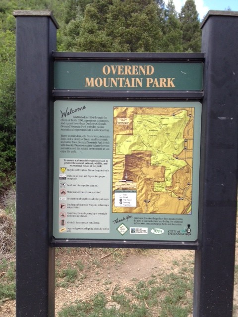
Today we went to ride at the Overend Mountain Park, named after Ned Overend, the legendary mountain biker. Kind of a fun trail, but The Bear had some issues with it, so it was a comparatively short ride, but I did get some photos. Here’s the trailhead:
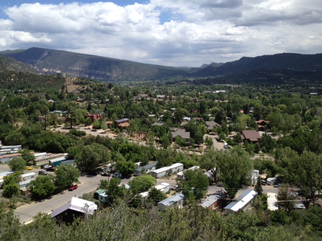
Here’s a shot from the trail, overlooking Durango:
The trail was tougher than we expected, with some rather scary spots, so we cut it short, as I mentioned. It was still fun, though.
Pretty much it for the day.
Day 29 – 2014-06-17, Tuesday – Angel Fire, NM to Durango, CO
Ah, travel day today. I won’t miss New Mexico very much. I WILL miss the trails, the ones we rode were very nice, and I’m sure there were many more, but a lot of things leave a LOT to be desired. FINDING trailheads is difficult. It doesn’t have to be, other States make it very easy to find trailheads, I’m not sure why these folks don’t. Also, as I mentioned in an earlier post, a lot of government employees don’t even seem to be aware that mountain biking exists, or why it’s important – now, the guy at the Visitor’s Center in Angel Fire sure as hell knew! And he admitted that it now brings in almost as much revenue as skiing does in the winter, allows them to have a much more even year, so they LOVE it. He was horrified to hear of our experience in all the places we had a hard time. Hopefully he can put out the word it needs to be fixed. Now, don’t get me wrong, we met a lot of very nice and helpful folks, just not so much related to trails.
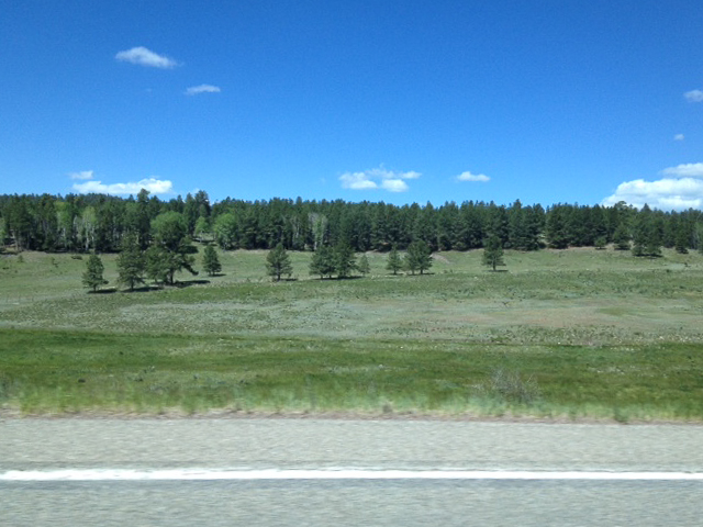
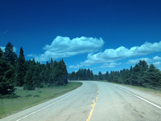
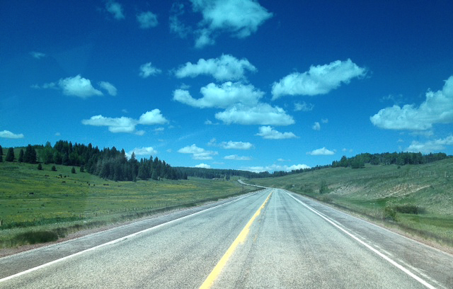
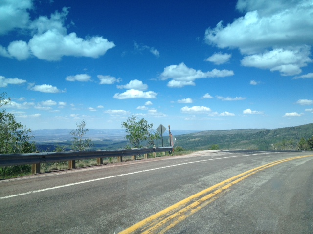
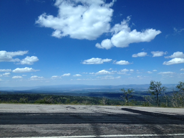
Anyway, leaving New Mexico, we did see some really VERY beautiful scenery, not just sand and scrub brush – check these out:
Yes, yes, iPhone through the windshield or side window, but the scenery is beautiful none the less.
Once we crossed into Colorado, of course we saw this:
We’re in the North side of the city this time – last year we were down South of town, because that’s where the KOA is, but this time we decided to try an independent campground, and tell you what – this is GREAT! Wi-Fi that WORKS! Incredibly friendly people, and my kind of folks. Love it!
Tomorrow, we ride. Ned Overend’s haunts, is my understanding – can’t wait! Yeah, it’s gonna hurt, but so what? We’ll be on a bike, on a trail. Woohoo!
Day 28 – 2014-06-16, Monday – Angel Fire, NM
Wind. AGAIN! That’s it. We don’t care. We need – NEED – to ride.
We’re going to drive to the visitor’s center, because the wind would be brutal on the road there, as it was when we rode the other day. The VC is kind of protected, as are the roads leading from there to the trailhead. We’re riding!
Well, protection or not, it was still pretty brutal. Winds are BAD. Still 25 to 35, with gusts of 40 to 45, but we don’t care – we HAVE to ride, otherwise, what’s the point of the trip?
We head up to a trail that will lead us to Elliot Barker Trail. We’re going to go out Ho Chi Minh, until it meets up with Elliott Barker, then we’ll take EB around the mountain, and come back via Whoop De Doos, which parallels HCM. It was a hard ride up the road to the trailhead – even with trees on both sides, the wind whipped into us headlong. Ugh. We slugged the mile and a half to the top, where the trailhead was:
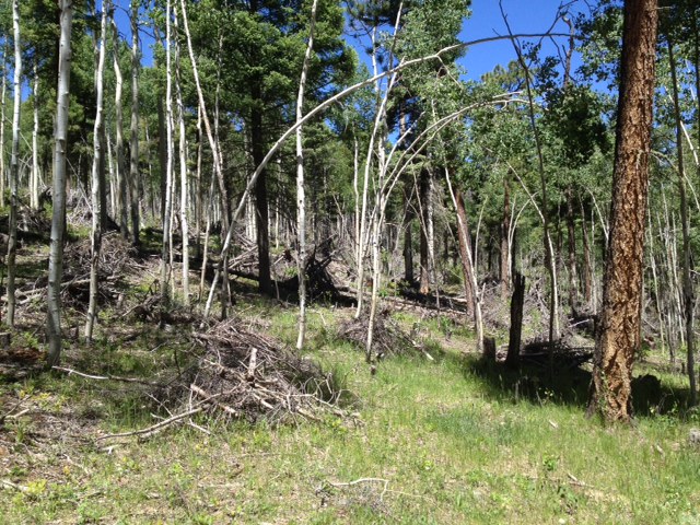
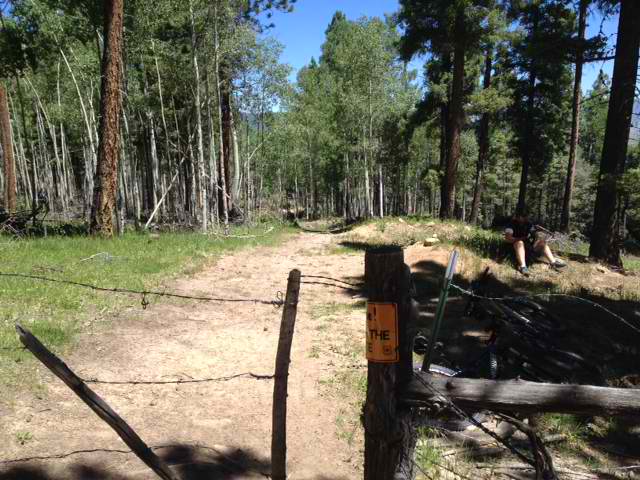 This goes downhill, even though it’s hard to tell. Right beside the trail were leftovers from logging:
Don’t know why they put the branches in piles – doesn’t make sense. Extra labor, for what? I’m sure there’s a reason – anybody figure it out, please let me know!
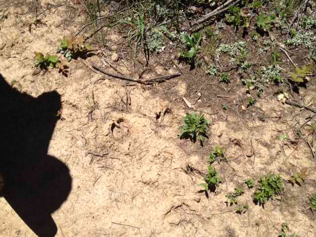
About a quarter mile down, we caught HCM, to the left, and immediately started to climb. It was rough, with the altitude and us out of shape, but we slugged on. I stopped to wait for The Bear (and to catch my breath, don’t think otherwise!) every hundred yards or so. There were a lot of dirt piles we had to ride over – water breaks, I’m guessing, and that made the going harder. Don;t know where they got the name for this part of the trail, ’cause there was no jungle. Anyway, on about the third or fourth stop up the hill, I heard some noise ahead, thought maybe a rider coming at us. Then I saw some movement out of the corner of my eye up ahead, and more, louder noises, of brush being trampled and broken, and then I saw a glimpse of a large animal, tan in color, moving left to right, about 150 feet ahead. I’m going with Elk, or very big deer. I hold fast it was NOT a very blond bear. Anyway, no more animals to startle us for the rest of the ride, but I did start calling out a lot, making noise. This track was on our trail near where the noise happened (yes, old track from when muddy, but still, probably same animal), with The Bear’s shadow for a size reference:
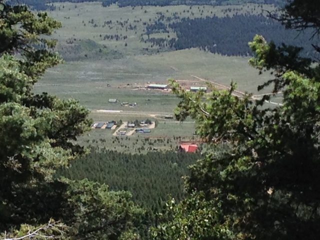
We did get a glimpse of our campground from the trail:
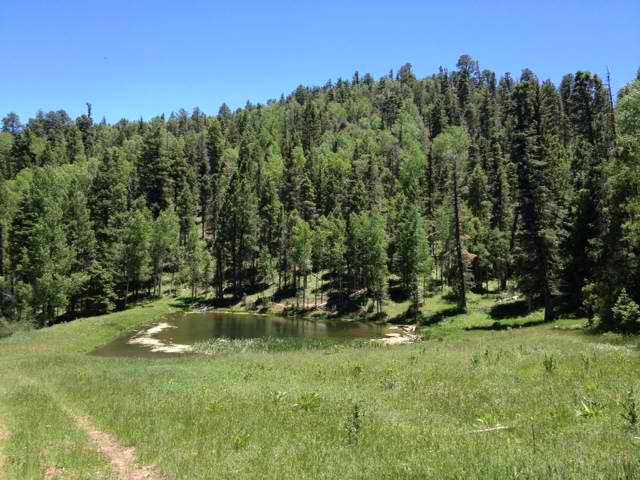
About half way through our ride, we came upon a little pond:
And just beyond it, looking back:
If we had turned right here, we would have gone up this:
But that was a shortcut, and VERY steep, neither of which we wanted to do, so we kept going.
The return was easier than the outbound leg, because outbound we climbed for most of the five miles, with a half-mile downhill to the half-way point. But on the return, on Whoop De Doos – I want my money back! We should have taken Ho Chi Minh – at least there the water breaks made for whoop de doos, on WDD, maybe if you were on a snowmobile doing 40 mph would they feel that way, as it was, it was a lot of gentle (and some not-so-gentle) climbs and descents. The descents not really long or steep enough to enjoy, and the climbs hard enough to be annoying, but thankfully not overly hard, except maybe one or two.
On the return, I decided to take Deer Trail back, instead of the road, because I knew it was all down hill (as was the road, to be sure, but trails are ALWAYS more fun than roads), and we made it back t the truck. Eleven miles, with 3,000 feet of climbing. We’re pooped!
Tomorrow – Durango, Colorado!
Day 27 – 2014-06-15, Sunday – Angel Fire, NM
Wind. Again. Damn!
Went to look for some campgrounds and some trailheads, since we weren’t going to ride in the wind, and so as not to just waste the day.
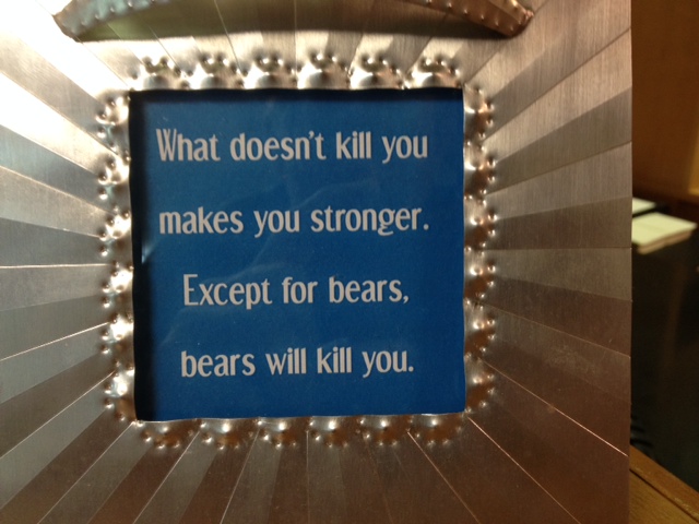
Stopped by the visitor’s center – he had a really cool sign on his desk:
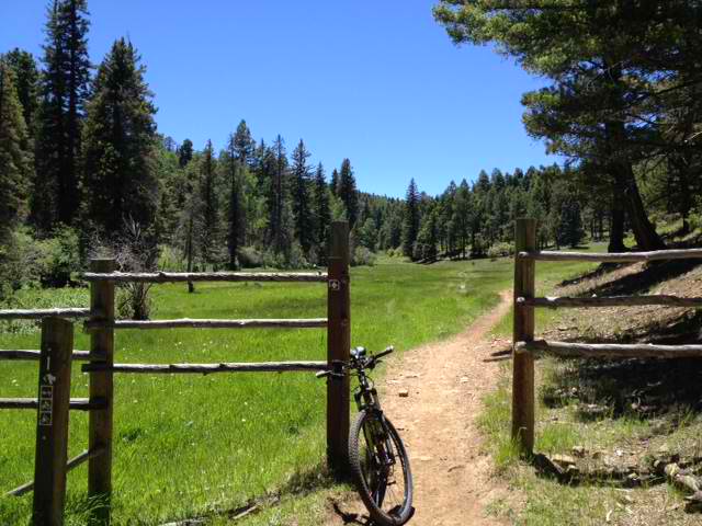
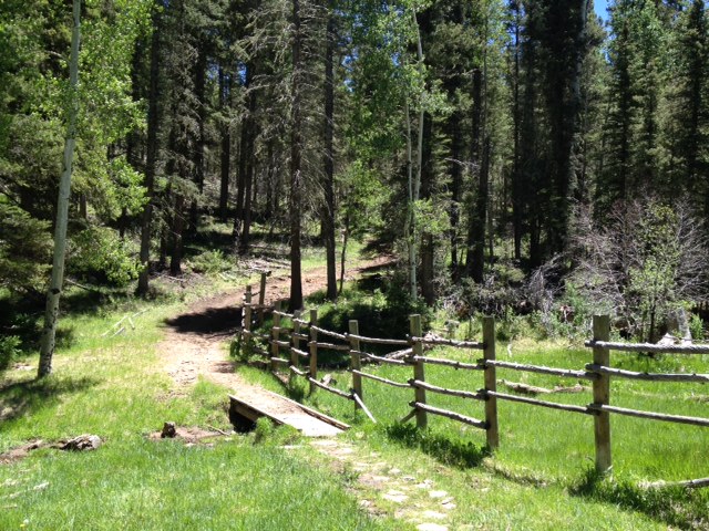
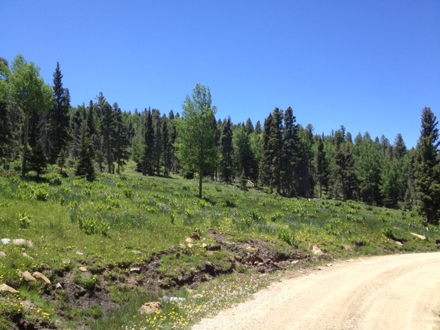
Yeah, we’re getting into bear country. But, the scenery’s cool:
Hopefully tomorrow is better.
