Ok, late posting this because of flaky internet.
Today was FS day! Find Stuff Day. Looking for trailheads. The Bear wants to try and let her hand heal, so we’re going to take it easy today, maybe tomorrow also.
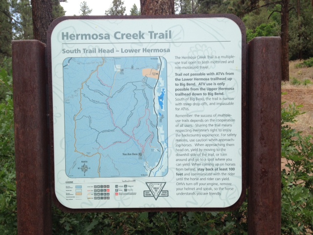
We head out and look for the Hermosa Creek Trailhead – here it is:
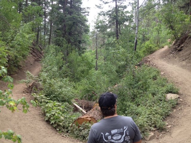
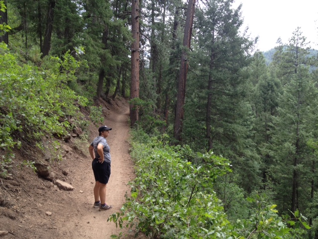
We went ahead and hiked a little bit of it, and it is beautiful out there!
After that, we drove out to places we were in 20 years ago – Old Lime Creek Road and Molass Pass. Here is the view from Molass Pass:
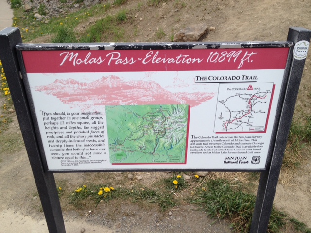
Here is the sign that tells you how high up you are:
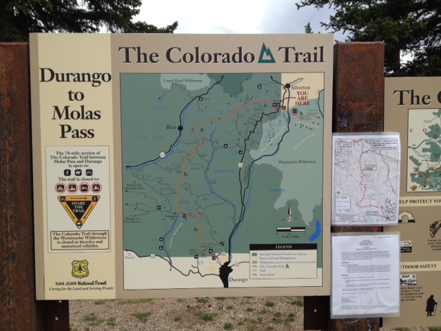
And here is a map of the Colorado Trail, From Durango to Molass Pass:
This is one place we STARTED a ride from all those years ago. Ah, to be young again! To be able to BREATHE again!
Then we went looking for Old Lime Creek Road. This is a ride several of us did 20 years ago, not all of us did the same ride. The Bear and I have a bad habit of always riding with folks younger than us, and we get our butts kicked repeatedly by doing so. You think we’d learn. Anyway, OLCR starts (the way we did it back when) at about 8,900 feet, winds its way up and down, then ends up about 11 or 12 miles later at 9,800 feet. The rest of the crowd did it as an out and back, but we were not sure we could handle another 11 or 12 miles back (we did not realize it was going to be mostly down hill), so we opted instead to take the highway. I remember we got rained on, and hailed on, but I did not remember it being that bad. Well, driving it this time, I have a whole new appreciation for what we did! Our return started at 9,800 feet, of course, and went over Coal Bank Pass. It was three miles to the pass, climbing to 10,600. Yes, we climbed 800 feet in three miles. Not too bad. It’s like taking a 20-foot board, and raising the far end one foot – not bad! Well, yes, but do that for THREE MILES. It’s kind of steep after a while. Then, we dropped from 10,600 to 8,900 in five miles. We were doing about 40-45 mph on the way down, using very little brakes. Not one car kept up with us, I do remember that! Fun times!
